
You may or may not know that Washington State is split vertically by the Cascade Mountain Range - west side weather is cooler and rainier - east side weather is warmer and dryer - There are four main routes over the mountains - Northern most is the North Cascade Highway, then Steven's Pass, then Snoqualamie Pass and southern most over is Whites Pass. We decided to go over the North Cascade Highway to get home.
 | |
| Driving north along the Columbia River from Beebee to Pateros |
BTW, you'll have to scroll down a couple of pages in the book to get to the map, but if you look at the elevation levels that Mike shows on the first page of that ride - the highest point in the ride (McNeil Pass or locally called McNeil Canyon summit) belongs to my family (she says proudly)
 Anyway - back to our trip home - - -you turn off to the Northwest at Pateros and follow the Methow river up to Winthrop, Washington a cute little town that has made a name for itself by going "Wild West" - in fact, that's the only time we ran into any traffic on our way home - about a 20 minute back-up of traffic trying to get through this touristy town.
 Once you get through Winthrop, you are headed over the North Cascade Highway - also called Highway 20, or North Cross-state -

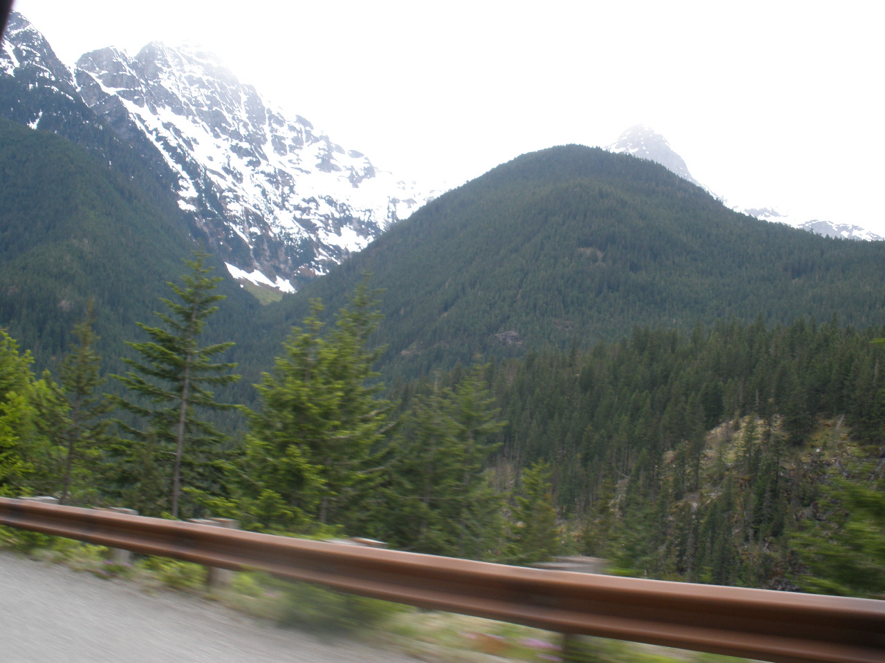
A road of many names, it is a beautiful trip this time of the year. The pass is closed during the winter months - it is just too expensive and too dangerous to keep it open

And even at the end of May, there was quite a bit of snow by the side of the roads


You are actually going over 3 or 4 "passes" or summits over this route.

Much of the scenery is just breathtaking over the fifty or so miles of the pass. .

Extreme avalanche danger is one reason the road is closed over the winter.


The mileage from Bellingham to Mansfield is roughly the same (235 miles) going over either pass - but North Cascades is a little harder drive - steeper & curvier plus the 40 miles of rural roads from Pateros to Winthrop - just takes a little longer.

The azure blue jewel of Ross Lake on the west end of the pass greets us - "you're almost home" it whispers.
It was good to be home. As much as I used to travel, I'm really a home-body any more.
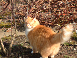
And, the looks of recrimination from the kittehs lasted only as long as it took to put out the food dishes - I figure it's a good trial for being gone a few more days at the end of the month when we go to Eugene.


1 comment:
Beautiful scenery in a beautiful area...but I agree--no place like home! Even if it isn't 'perfect' there is nothing like stepping back into the comforts of home. And yeah, the kitty looks can kill for a little bit, but most of them get over it pretty quick.
Tammy (and we are okay, didn't get any tornadoes, just haven't been able to blog much lately--thanks for checking!)
Post a Comment